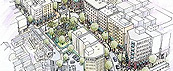
国土空間・都市活動を計測・分析する
安心・安全で快適な生活を送るために、私たちの国土空間をどのように計測して管理するのがよいでしょうか?ヒトやクルマなどの都市活動(交通実態)をどのように分析・見える化するのがよいでしょうか?これら資産を継続的に活用した都市経営をどのように推進していくのがよいでしょうか?
本研究室では、多くの関係者で共通認識をもって社会空間(国土空間、都市活動)の現状を知る、潜在する事象を発見する、将来を予測する、諸課題への対策を講ずるための技術やマネジメント手法として、次の2本柱を設定し、産官学の多くの関係者と共同研究体制を構築して鋭意取り組んでいます。
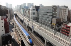
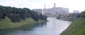
◆国土空間の計測・管理手法の研究
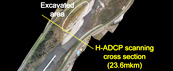
トータルステーション、LP(Laser Profiler)、移動体計測車両(MMS:Mobile Mapping Sy stem)やUAV(Unmanned Aerial Vehicle)などの様々な機器で計測された写真や点群データを用いた国土空間モデルの生成・活用手法を研究しています。
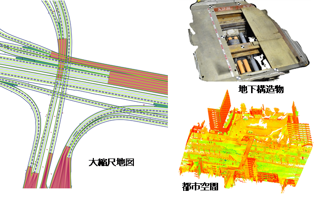
国土空間の計測・管理
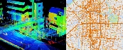
◆都市活動の分析・見える化の研究
携帯電話やカーナビゲーションシステムなどの媒体から24時間365日取得されるヒトやクルマなどの膨大な移動履歴のデータ(交通ビッグデータ)と、統計調査の各種資料とを組合せて、都市活動の現状把握、潜在する事象の発見や将来予測に係わる分析・見える化手法、分析・見える化に応じた道路ネットワークや地図基盤を研究しています。
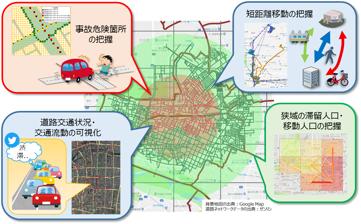
都市活動の分析・見える化
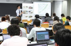
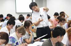
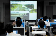
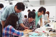
研究室活動の特徴(学生による研究室紹介)
準備中
Measuring, Analyzing, and Visualizing National Spaces and Urban Activities
Our Laboratory researches technologies of measuring, analyzing, and visualizing social spaces (national spaces and urban activities) for learning their current status, discovering potential events, predicting the future, and taking measures to deal with problems.
Research on methods of measuring and managing national spaces: we are studying methods of generating and utilizing product models as well as three-dimensional models of national spaces using photographs and point cloud data measured by a wide variety of devices (total station, laser, radar, moving object measuring vehicle, and UAV).
Research on analyzing and visualizing urban activities: using a huge amount of data obtained 24 hours a day, 365 days a year from media, such as mobile phones and car navigations systems, we are studying methods of analysis and visualization for understanding the current status of urban activities (pedestrians and vehicle traffic), discovering potential events, and making future predictions. We are also studying road networks and the foundation of maps that conform to the purpose of analyzing and visualizing urban activities.